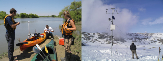
Sierra Nevada San Joaquin Hydrologic Observatory
Observatory design in the mountain west: scaling measurements and modeling in the San Joaquin Valley and Sierra Nevada.
This WATERS Test Bed project - San Joaquin Valley and Sierra Nevada - focuses on data and information that are relevant to hydrologic management and research in the 60,000 square kilometer, San Joaquin Valley drainage of California, including watersheds from the American River in the north to the Kings River in the south. The test basins for the current project, the Merced and Tuolumne, together cover an area of about 11,000 square kilometers. Tributaries flowing into the San Joaquin Valley originate in the snow-covered peaks of the Sierra Nevada, on public lands administered by the National Park Service and U.S. Forest Service. River water quality is increasing impacted by agricultural drainage and urban runoff as it passes through the valley to the San Francisco Bay.

If you have any comments or questions regarding any aspect of this site, please send them to xmeng@ucmerced.edu.